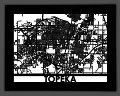
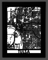
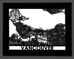
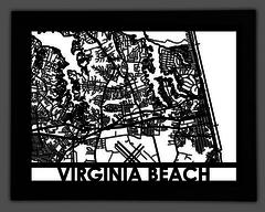
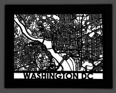
This map of downtown Topeka, Kansas contains all of the historical sites and modern attractions that give this city it’s western charm. Whether it’s the Old Prairie Town or Gage Park, this map displays all of the elements that make this city truly unique!
Situated on the Kansas River, this map contains the city’s downtown area. From Bellview to Rock Hill, point out streets you’ve lived on, and places you’ve been to with this real city street map of Topeka, Kansas.
This map of Topeka is made from a solid piece of stainless steel and is precision cut to create a beautiful work of art for your home! All of our stainless steel maps come framed and ready to be put on display for your family and friends to enjoy.
Our 18”x24” maps are made from High Density EVA foam and are precision cut using laser cutting technology to create a beautiful work of art for your home.
The 34”x36” Wooden maps are cut from ¼” walnut plywood using CNC machinery and are ready to hang for friends and family to enjoy.
